
1893 Map of Las Cruces
USGS Topo · Published 1893About this map
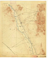
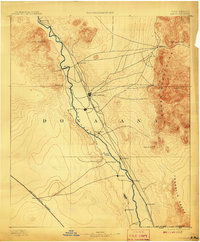
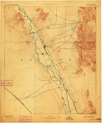
The Rio Grande valley serves as the central artery of settlement in this 1890s survey, with the Atchison Topeka and Santa Fe Railroad paralleling its course. To the east, the sharp elevations of the Organ Mountains and the Franklin Range create a formidable barrier, punctuated by the mining-era settlement at Organ City near San Augustin Peak. The map captures the regional importance of Las Cruces and the neighboring community of Mesilla, alongside several smaller riverfront plazas like San Miguel and La Mesa. At the northern end of the valley, Fort Selden stands near the base of Roblero Mt, marking a site of strategic military significance along the old river routes. The southern landscape is defined by the sweeping approach of the Southern Pacific Railroad, which enters the valley floor from the west near Afton, reflecting the era's competitive expansion of rail infrastructure across the Mesilla Valley.
Find a feature on this map
29 named features on this map. Tap any name to fly to it.
Don’t see what you’re looking for? This feature index may not catch every label — zoom into the map to look around manually.
Map Details
Editions of this 1893 Las Cruces Map
4 editions found
Other maps of this area

1891 · Las Cruces
USGS Topo · 1:125,000

1896 · El Paso
USGS Topo · 1:125,000

1908 · El Paso
USGS Topo · 1:125,000

1916 · Tonuco
USGS Topo · 1:125,000

1916 · Point Of Sands
USGS Topo · 1:125,000

1917 · Canutillo
USGS Topo · 1:62,500

1917 · Noria
USGS Topo · 1:62,500

1917 · Mt. Riley
USGS Topo · 1:62,500

1918 · Mt. Riley
USGS Topo · 1:62,500

1918 · Noria
USGS Topo · 1:62,500