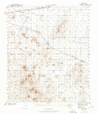
1918 Map of Noria
USGS Topo · Published 1918About this map
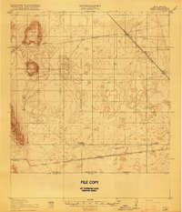
Kilbourne Hole and Hunts Hole dominate this arid landscape, revealing a volcanic geography of deep depressions just north of the United States Mexico border. Surveyed in 1917, the map illustrates a sparsely populated desert interior where survival was tied to isolated outposts like the Herringtons Home Ranch and Hall and Primm Ranch. These ranching sites were the primary human features in a territory otherwise defined by the passage of heavy rail transit through the New Mexico desert.
Find a feature on this map
16 named features on this map. Tap any name to fly to it.
Don’t see what you’re looking for? This feature index may not catch every label — zoom into the map to look around manually.
Map Details
Editions of this 1918 Noria Map
2 editions found

Other maps of this area

1891 · Las Cruces
USGS Topo · 1:125,000

1893 · Las Cruces
USGS Topo · 1:125,000
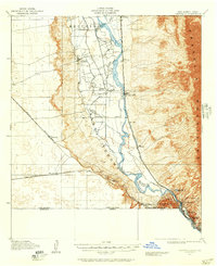
1917 · Canutillo
USGS Topo · 1:62,500

1917 · Noria
USGS Topo · 1:62,500

1917 · Mt. Riley
USGS Topo · 1:62,500
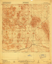
1918 · Mt. Riley
USGS Topo · 1:62,500
1919 · Canutillo
USGS Topo · 1:62,500

1929 · Mt. Riley
USGS Topo · 1:62,500
1941 · Aden
USGS Topo · 1:62,500
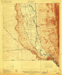
1943 · La Mesa
USGS Topo · 1:62,500