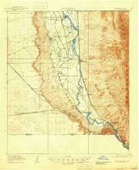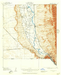
1917 Map of Canutillo
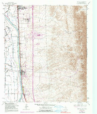
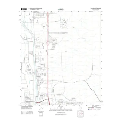
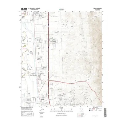
USGS Topo · Published 1957About this map
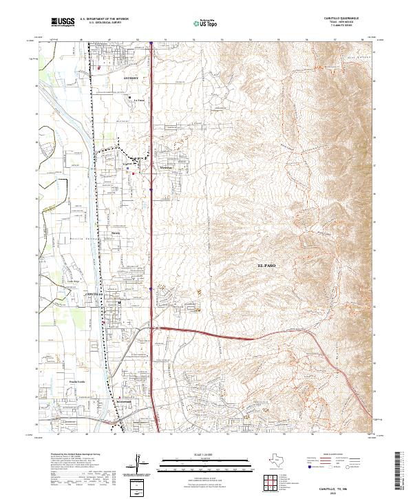
The Rio Grande valley serves as a critical corridor for settlement and transit along the international border in the years following the turn of the century. This landscape is defined by the sharp contrast between the fertile river valley and the rising Franklin Mountains to the east. Along the western banks, the Refugio and Santa Teresa grants establish early land divisions, while small agricultural hubs like La Union, containing the La Vista School, anchor the local community. Further south, the industrial character of the region emerges near the river's bend, where the Smelter and Courchesne settlements supported by the State School of Mines mark the northern outskirts of El Paso. Transportation networks are dominated by the Southern Pacific and Atchison Topeka and Santa Fe railroads, which parallel the river and the Borderland Highway, facilitating movement between Vinton, Canutillo, and the high desert stations like Strauss.
Find a feature on this map
31 named features on this map. Tap any name to fly to it.
Don’t see what you’re looking for? This feature index may not catch every label — zoom into the map to look around manually.
Map Details
Editions of this 1917 Canutillo Map
This is the sole edition of this map. No revisions or reprints were ever made.
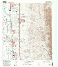
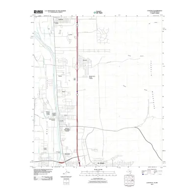
Historical Maps of El Paso Through Time
9 maps found