
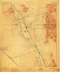
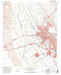
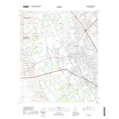
1891 Map of Las Cruces
USGS Topo · Published 1891About this map
Las Cruces and the surrounding Mesilla Valley appear here in the early 1890s, defined by the vital corridor of the Rio Grande and the emergence of transcontinental rail lines. The Atchison Topeka and Santa Fe Railroad cuts through the center of the sheet, connecting established settlements like Dona Ana and Mesilla to the growing hub of Las Cruces. To the east, the steep Organ Mountains provide a dramatic backdrop, home to Organ City and high peaks such as San Augustin Peak.
Find a feature on this map
24 named features on this map. Tap any name to fly to it.
Don’t see what you’re looking for? This feature index may not catch every label — zoom into the map to look around manually.
Map Details
Editions of this 1891 Las Cruces Map
This is the sole edition of this map. No revisions or reprints were ever made.
Historical Maps of El Paso Through Time
14 maps found
1891 Las Cruces
Doña Ana County, NM
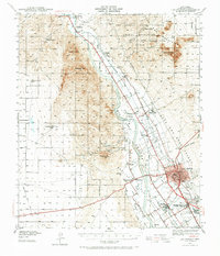
1893 Las Cruces
Doña Ana County, NM
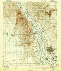
1941 Las Cruces
Doña Ana County, NM
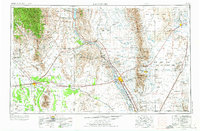
1943 Las Cruces
Doña Ana County, NM
1955 Las Cruces
Doña Ana County, NM

1958 Las Cruces
Doña Ana County, NM
1978 Las Cruces
Doña Ana County, NM

1982 Las Cruces
Doña Ana County, NM

1996 Las Cruces
Doña Ana County, NM
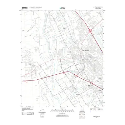
2010 Las Cruces
Doña Ana County, NM
2013 Las Cruces
Doña Ana County, NM
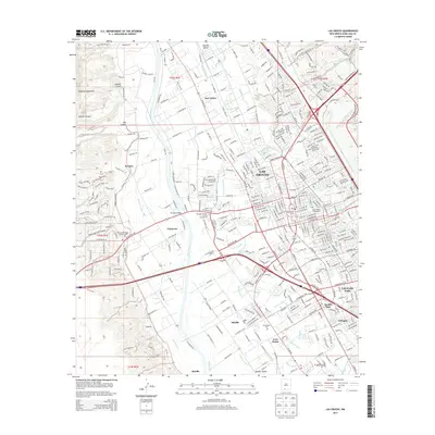
2017 Las Cruces
Doña Ana County, NM
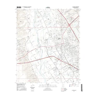
2020 Las Cruces
Doña Ana County, NM
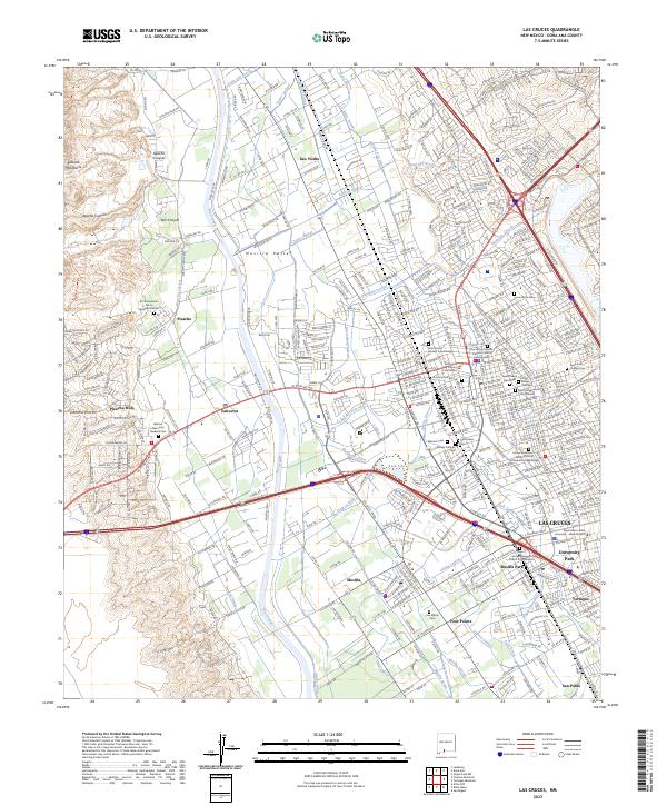
2023 Las Cruces
Doña Ana County, NM