
1894 Map of Fort Hancock
USGS Topo · Published 1894About this map
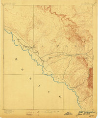
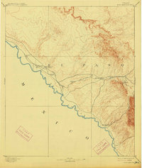
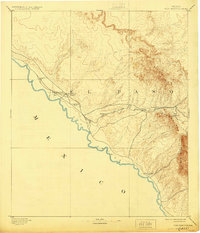
The Rio Grande defines the southwestern boundary of this West Texas territory, where military outposts and desert mountain ranges shaped the landscape during the late nineteenth century. The map highlights the strategic positioning of Fort Hancock Post and Fort Hancock Station alongside the tracks of the Galveston Harrisburg and San Antonio Railway. This rail line served as a vital corridor through the arid basin, connecting remote desert stops like Madden, Finlay, and Malone.
Find a feature on this map
20 named features on this map. Tap any name to fly to it.
Don’t see what you’re looking for? This feature index may not catch every label — zoom into the map to look around manually.
Map Details
Editions of this 1894 Fort Hancock Map
4 editions found
Other maps of this area

1895 · Sierra Blanca
USGS Topo · 1:125,000

1896 · El Paso
USGS Topo · 1:125,000

1896 · Rio Grande
USGS Topo · 1:125,000

1897 · Eagle Mountain
USGS Topo · 1:125,000

1903 · Cerro Alto
USGS Topo · 1:125,000

1908 · El Paso
USGS Topo · 1:125,000

1916 · Eagle Mountain
USGS Topo · 1:125,000

1941 · Clint
USGS Topo · 1:62,500

1941 · Tornillo
USGS Topo · 1:62,500

1942 · Borrego
USGS Topo · 1:62,500