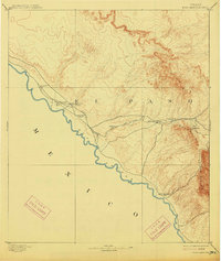
1894 Map of Fort Hancock
USGS Topo · Published 1914About this map
Military outposts and early railroad infrastructure define this West Texas landscape along the Rio Grande during the late nineteenth century. The map captures a significant transition in frontier defense as several installations are noted as abandoned, including Fort Quitman and Camp Rice. These sites, once critical for monitoring the border with Mexico, gave way to a new era of transportation-led growth centered on the Galveston Harrisburg and San Antonio Railway.
Find a feature on this map
18 named features on this map. Tap any name to fly to it.
Don’t see what you’re looking for? This feature index may not catch every label — zoom into the map to look around manually.
Map Details
Editions of this 1894 Fort Hancock Map
4 editions found
Other maps of this area

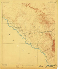
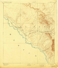
1894 · Fort Hancock
USGS Topo · 1:125,000

1895 · Sierra Blanca
USGS Topo · 1:125,000

1896 · El Paso
USGS Topo · 1:125,000

1896 · Rio Grande
USGS Topo · 1:125,000

1897 · Eagle Mountain
USGS Topo · 1:125,000

1903 · Cerro Alto
USGS Topo · 1:125,000

1908 · El Paso
USGS Topo · 1:125,000

1916 · Eagle Mountain
USGS Topo · 1:125,000

1941 · Clint
USGS Topo · 1:62,500

1941 · Tornillo
USGS Topo · 1:62,500