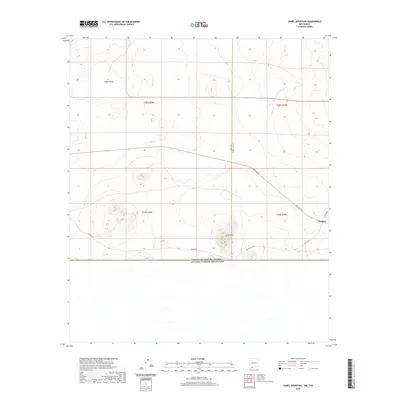
2020 Map of Camel Mountain
USGS Topo · Published 2020About this map
Camel Mtn serves as a prominent landmark in this Chihuahuan Desert landscape where the international border meets the high desert of Southern New Mexico. The terrain is characterized by the expansive volcanic features of the Malpais and the seasonal catchment of Indian Basin. A network of county routes, including Anapra Rd, A003 Co Rd, and A 001 Co Rd, provides the primary access through this remote borderland. The map documents the precise intersection of the Luna and Doña Ana county line as it descends toward the United States and Mexico international boundary. This modern survey reflects the enduring isolation and the geometric precision of the Public Land Survey System, marked by township divisions such as t29s r5w and t28s r4w.
Find a feature on this map
13 named features on this map. Tap any name to fly to it.
Don’t see what you’re looking for? This feature index may not catch every label — zoom into the map to look around manually.
Map Details
Editions of this 2020 Camel Mountain Map
This is the sole edition of this map. No revisions or reprints were ever made.
Other maps of this area

1917 · Camel Mountain
USGS Topo · 1:62,500

1917 · Mt. Riley
USGS Topo · 1:62,500

1918 · Mt. Riley
USGS Topo · 1:62,500

1929 · Mt. Riley
USGS Topo · 1:62,500

1951 · Mt. Riley
USGS Topo · 1:62,500

1953 · El Paso
USGS Topo · 1:250,000

1959 · El Paso
USGS Topo · 1:250,000

1964 · El Paso
USGS Topo · 1:250,000

1965 · El Paso
USGS Topo · 1:250,000
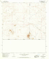
1965 · Camel Mountain
USGS Topo · 1:24,000