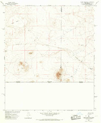
1965 Map of Camel Mountain
USGS Topo · Published 1967About this map
Camel Mountain and the surrounding high desert terrain define this landscape along the international border in the mid-1960s. Located at the intersection of Luna Co and Dona Ana Co, the area is marked by its isolation and the clear traces of past industrial activity and ranching. The presence of the Old Railroad Grade cutting across the flats suggests a vanished transportation corridor that once served this remote desert reach.
Find a feature on this map
14 named features on this map. Tap any name to fly to it.
Don’t see what you’re looking for? This feature index may not catch every label — zoom into the map to look around manually.
Map Details
Editions of this 1965 Camel Mountain Map
This is the sole edition of this map. No revisions or reprints were ever made.
Other maps of this area

1917 · Camel Mountain
USGS Topo · 1:62,500

1917 · Mt. Riley
USGS Topo · 1:62,500

1918 · Mt. Riley
USGS Topo · 1:62,500

1929 · Mt. Riley
USGS Topo · 1:62,500

1951 · Mt. Riley
USGS Topo · 1:62,500

1953 · El Paso
USGS Topo · 1:250,000

1959 · El Paso
USGS Topo · 1:250,000

1964 · El Paso
USGS Topo · 1:250,000

1965 · El Paso
USGS Topo · 1:250,000
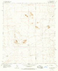
1965 · P O L Ranch
USGS Topo · 1:24,000