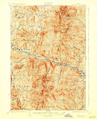
1924 Map of Camels Hump
USGS Topo · Published 1928About this map
The Green Mountains define the physical and cultural landscape of this 1920s survey, dominated by the iconic peak of Camels Hump (The Lion). The Winooski River carves a central corridor through the peaks, serving as the primary artery for both the Central Vermont railroad and the Theodore Roosevelt International Highway. This valley connects the busy village of Waterbury, notable for the large State Hospital for the Insane, with the farming and milling settlements of Bolton, Jonesville, and Richmond. Higher elevation life is evidenced by the early path of the Long Trail and remote mountain shelters like Dinsmoor Lodge and Montclair Glen Lodge. Local schoolhouses, including the Fiddock School and Crossett Hill School, are scattered across the uplands, marking the centers of gravity for small rural neighborhoods that relied on the steep brook valleys of the Huntington River and Waterbury River.
Find a feature on this map
96 named features on this map. Tap any name to fly to it.
Don’t see what you’re looking for? This feature index may not catch every label — zoom into the map to look around manually.
Map Details
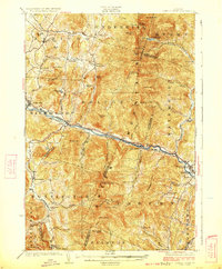
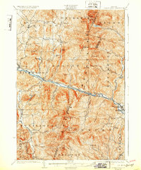
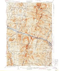
Editions of this 1924 Camels Hump Map
5 editions found

Other maps of this area

1903 · Middlebury
USGS Topo · 1:62,500

1905 · Middlebury
USGS Topo · 1:62,500

1906 · Burlington
USGS Topo · 1:62,500

1913 · Milton
USGS Topo · 1:48,000

1915 · Milton
USGS Topo · 1:62,500

1919 · Burlington
USGS Topo · 1:62,500

1919 · Lincoln Mountain
USGS Topo · 1:62,500

1919 · Montpelier
USGS Topo · 1:62,500

1920 · Lincoln Mountain
USGS Topo · 1:48,000

1920 · Middlebury
USGS Topo · 1:62,500