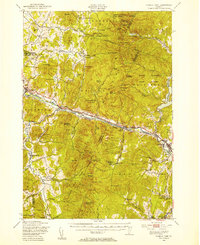
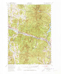
1948 Map of Camels Hump
USGS Topo · Published 1954About this map
The Winooski River carves a deep valley through the Green Mountains in this late 1940s survey, serving as the primary corridor for the Central Vermont railroad and the Theodore Roosevelt International Highway. This drainage basin is a hub of early postwar activity, ranging from the industrial presence of Waterbury and its nearby Waterbury Reservoir to the agrarian and residential clusters at Richmond and Jericho Center. The map documents a diverse landscape where mountain summits like Camels Hump (The Lion) and Bolton Mountain tower over specialized institutions, including the Vermont Research Forest Agriculture Experiment Station and the Fort Ethan Allen Military Reservation.
Find a feature on this map
98 named features on this map. Tap any name to fly to it.
Don’t see what you’re looking for? This feature index may not catch every label — zoom into the map to look around manually.
Map Details
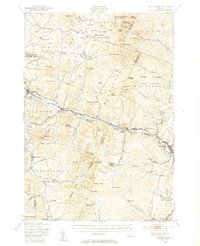
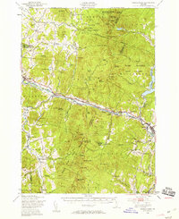
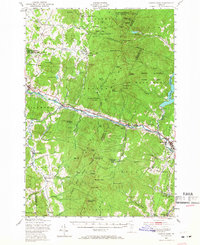
Editions of this 1948 Camels Hump Map
5 editions found
Other maps of this area

1903 · Middlebury
USGS Topo · 1:62,500

1905 · Middlebury
USGS Topo · 1:62,500

1906 · Burlington
USGS Topo · 1:62,500

1913 · Milton
USGS Topo · 1:48,000

1915 · Milton
USGS Topo · 1:62,500

1919 · Burlington
USGS Topo · 1:62,500

1919 · Lincoln Mountain
USGS Topo · 1:62,500

1919 · Montpelier
USGS Topo · 1:62,500

1920 · Lincoln Mountain
USGS Topo · 1:48,000

1920 · Middlebury
USGS Topo · 1:62,500