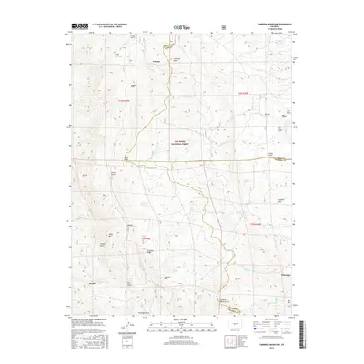
2016 Map of Cameron Mountain
USGS Topo · Published 2016About this map
Turret and Whitehorn anchor this high-altitude landscape where Chaffee, Park, and Fremont counties meet within the San Isabel National Forest. The map documents a terrain deeply marked by historical extraction and high-country travel, evidenced by features such as Marble Quarry Gulch, Graphite Ridge, and The Mascot. A network of Forest Service roads, including 185 and 175, winds through the complex system of gulches that define the topography, from Futurity Gulch in the north to Railroad Gulch near Cameron Mountain in the south. Permanent water sources are scarce, appearing as isolated points like Hollenbeck Spring, Sawmill Spring, and Manoa Springs. The presence of Calumet Mtn and Bull Hill further illustrates the geological character of the area, while the settlement of Futurity sits at the junction of several drainage systems, including Cottonwood Creek.
Find a feature on this map
58 named features on this map. Tap any name to fly to it.
Don’t see what you’re looking for? This feature index may not catch every label — zoom into the map to look around manually.
Map Details
Editions of this 2016 Cameron Mountain Map
This is the sole edition of this map. No revisions or reprints were ever made.
Other maps of this area

1954 · Pueblo
USGS Topo · 1:250,000

1955 · Buena Vista
USGS Topo · 1:62,500

1956 · Cameron Mountain
USGS Topo · 1:62,500

1956 · Poncha Springs
USGS Topo · 1:62,500

1956 · Montrose
USGS Topo · 1:250,000

1957 · Pueblo
USGS Topo · 1:250,000

1958 · Pueblo
USGS Topo · 1:250,000

1959 · Montrose
USGS Topo · 1:250,000

1959 · Antero Reservoir
USGS Topo · 1:62,500

1960 · Montrose
USGS Topo · 1:250,000