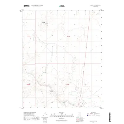
2018 Map of Cameron North
USGS Topo · Published 2018About this map
The Little Colorado River defines the southern portion of this high-desert landscape, carving a significant path through the Little Colorado River Gorge. This 2018 survey reveals a terrain dominated by distinct volcanic and erosional features, most notably the prominent Shadow Mtn and the appropriately named Black Knob. The map provides a detailed view of the drainage systems that feed the river during seasonal flows, including the Moenkopi Wash, Fivemile Wash, and Tappan Wash.
Find a feature on this map
15 named features on this map. Tap any name to fly to it.
Don’t see what you’re looking for? This feature index may not catch every label — zoom into the map to look around manually.
Map Details
Editions of this 2018 Cameron North Map
This is the sole edition of this map. No revisions or reprints were ever made.
Other maps of this area

1886 · San Francisco Mtns
USGS Topo · 1:250,000

1886 · Echo Cliffs
USGS Topo · 1:250,000

1891 · San Francisco Mtns
USGS Topo · 1:250,000

1891 · Echo Cliffs
USGS Topo · 1:250,000

1894 · San Francisco Mtns
USGS Topo · 1:250,000

1899 · San Francisco Mtns
USGS Topo · 1:250,000

1947 · Flagstaff
USGS Topo · 1:250,000

1954 · Flagstaff
USGS Topo · 1:250,000

1955 · Coconino Pt SE
USGS Topo · 1:24,000

1955 · Coconino Pt NE
USGS Topo · 1:24,000