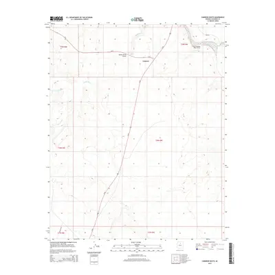
2014 Map of Cameron South
USGS Topo · Published 2014About this map
Cameron serves as a critical junction in this arid Coconino County landscape, where Us-89 meets Az-64 just south of the Little Colorado River. The geography is defined by deeply incised drainages, most notably the Little Colorado River Gorge in the northeast and the winding path of Tappan Wash. These natural features dictate the human footprint, with roads following the level ground between canyon edges. Water remains the primary life-sustaining element in this high-desert environment, evidenced by the presence of Tappan Spring and Tanner Spring. The map documents a landscape of transit and essential resources, from the corridor of Powerline Rd to the various Bureau of Indian Affairs routes like Bia-6730 that provide access across the surrounding mesas and washes.
Find a feature on this map
20 named features on this map. Tap any name to fly to it.
Don’t see what you’re looking for? This feature index may not catch every label — zoom into the map to look around manually.
Map Details
Editions of this 2014 Cameron South Map
This is the sole edition of this map. No revisions or reprints were ever made.
Other maps of this area

1886 · San Francisco Mtns
USGS Topo · 1:250,000

1891 · San Francisco Mtns
USGS Topo · 1:250,000

1894 · San Francisco Mtns
USGS Topo · 1:250,000

1899 · San Francisco Mtns
USGS Topo · 1:250,000

1947 · Flagstaff
USGS Topo · 1:250,000

1954 · Flagstaff
USGS Topo · 1:250,000

1955 · Black Falls NE
USGS Topo · 1:24,000

1955 · Coconino Pt SE
USGS Topo · 1:24,000

1955 · Coconino Pt NE
USGS Topo · 1:24,000

1955 · Cameron SW
USGS Topo · 1:24,000