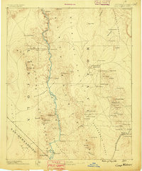
1886 Map of Camp Mohave
USGS Topo · Published 1886About this map
The Colorado River carves through the heart of this landscape, its path defined by the sheer walls of Black Cañon and Pyramid Cañon. In the mid-1880s, this region was a critical frontier hub where river traffic met overland trade. Remote settlements like Hardyville and the military outpost at Camp Mojave served as vital anchors along the Mojave Valley, while the El Dorado Ferry provided one of the few crossings for travelers heading into the Opal Mountains.
Find a feature on this map
81 named features on this map. Tap any name to fly to it.
Don’t see what you’re looking for? This feature index may not catch every label — zoom into the map to look around manually.
Map Details
Editions of this 1886 Camp Mohave Map
This is the sole edition of this map. No revisions or reprints were ever made.
Other maps of this area
1886 · Diamond Creek
USGS Topo · 1:250,000
1886 · Saint Thomas
USGS Topo · 1:250,000
1886 · Mt. Trumbull
USGS Topo · 1:250,000
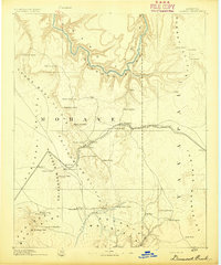
1892 · Diamond Creek
USGS Topo · 1:250,000
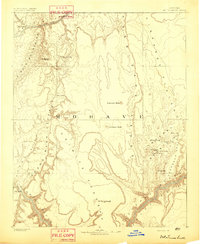
1892 · Mt. Trumbull
USGS Topo · 1:250,000
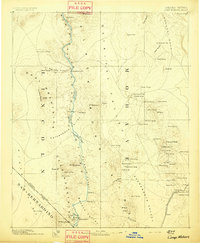
1892 · Camp Mohave
USGS Topo · 1:250,000
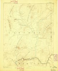
1893 · Saint Thomas
USGS Topo · 1:250,000
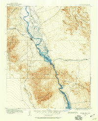
1903 · Needles
USGS Topo · 1:125,000
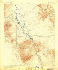
1904 · Needles Special
USGS Topo · 1:125,000
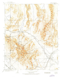
1907 · Las Vegas
USGS Topo · 1:250,000