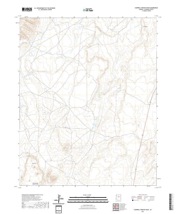
2021 Map of Campbell Francis Wash
USGS Topo · Published 2021About this map
The northern reaches of the San Francisco Volcanic Field define this high-desert landscape in Coconino County, characterized by volcanic topography and a complex network of seasonal drainages. Prominent features like Lava Point and The Point rise above a terrain marked by numerous eponymous water features, including Lava Wash, Cedar Wash, and the primary Campbell Francis Wash. The distribution of man-made tanks throughout the township reveals the importance of water management for local ranching operations. Significant landmarks such as Large Whiskers Tank and Eugene Gordy Tank suggest family-named sites or historical markers of land use. Access is provided by rural corridors like Babbit Ranch Rd and Rd 691, which cut through the public and private lands of the Arizona desert.
Find a feature on this map
26 named features on this map. Tap any name to fly to it.
Don’t see what you’re looking for? This feature index may not catch every label — zoom into the map to look around manually.
Map Details
Editions of this 2021 Campbell Francis Wash Map
This is the sole edition of this map. No revisions or reprints were ever made.
Other maps of this area

1886 · San Francisco Mtns
USGS Topo · 1:250,000

1891 · San Francisco Mtns
USGS Topo · 1:250,000

1894 · San Francisco Mtns
USGS Topo · 1:250,000

1899 · San Francisco Mtns
USGS Topo · 1:250,000

1947 · Flagstaff
USGS Topo · 1:250,000

1954 · Flagstaff
USGS Topo · 1:250,000

1955 · Coconino Pt SE
USGS Topo · 1:24,000

1955 · Cameron SW
USGS Topo · 1:24,000

1955 · Cameron
USGS Topo · 1:62,500

1958 · Flagstaff
USGS Topo · 1:250,000