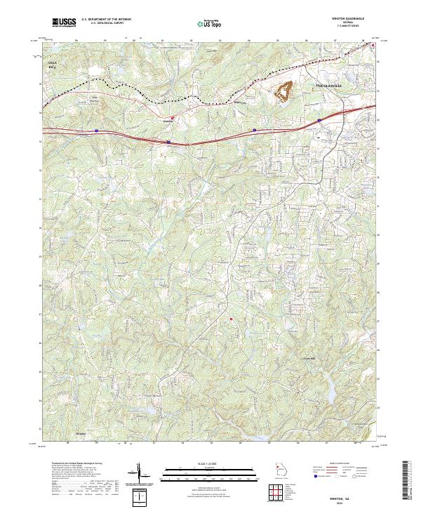
2024 Map of Campbellton
USGS Topo · Published 2024About this map
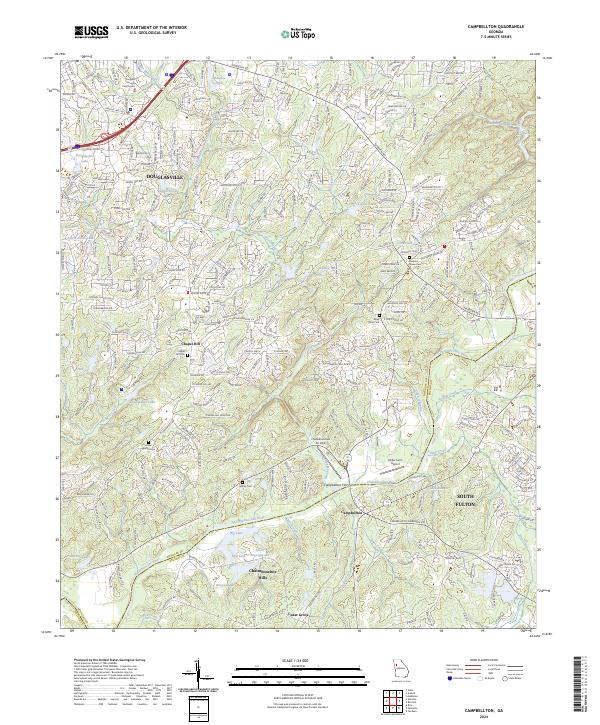
The Chattahoochee River defines the landscape as it snakes through the boundary between Douglas and Fulton counties. To the north, the suburban expansion of Douglasville is evidenced by a dense network of roads like Campbellton St and Chapel Hill Rd, surrounding local landmarks such as the Douglas County Courthouse. This modern topographic survey reveals a complex interface between residential growth and the rural heritage of the region, visible in the preservation of numerous burial grounds.
Find a feature on this map
282 named features on this map. Tap any name to fly to it.
Don’t see what you’re looking for? This feature index may not catch every label — zoom into the map to look around manually.
Map Details
Editions of this 2024 Campbellton Map
This is the sole edition of this map. No revisions or reprints were ever made.
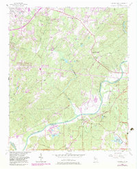
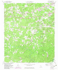
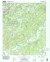
Historical Maps of Douglas Estates Through Time
5 maps found