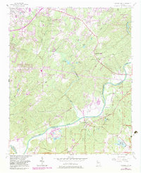
1954 Map of Campbellton
USGS Topo · Published 1983About this map
The Chattahoochee River defines the boundary between Douglas and Fulton counties, carving a winding path through a landscape of creek-fed valleys and timbered ridges. Near the center of this terrain, the historic community of Campbellton sits along the Chattahoochee River at the intersection of Cochran Road and Tuggle Road. The settlement patterns of the mid-20th century are evident in the clustering of churches and schools, such as Mount Carmel Sch and its associated Mount Carmel Sch Cem, alongside smaller communities like Community Grove and Pleasant Grove. In the northeast corner, the protected woods of Sweetwater Creek State Park surround the namesake Sweetwater Creek, providing a stark contrast to the emerging residential development seen in the Douglasville area. Local waterways including Anneewakee Creek and Bear Creek create a dense drainage network that dictated the placement of early farms and thoroughfares like Slater Mill Road.
Find a feature on this map
59 named features on this map. Tap any name to fly to it.
Don’t see what you’re looking for? This feature index may not catch every label — zoom into the map to look around manually.
Map Details
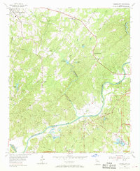
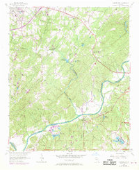
Editions of this 1954 Campbellton Map
4 editions found
Other maps of this area

1891 · Marietta
USGS Topo · 1:125,000

1895 · Marietta
USGS Topo · 1:125,000

1897 · Marietta
USGS Topo · 1:125,000

1901 · Marietta
USGS Topo · 1:125,000

1953 · Atlanta
USGS Topo · 1:250,000

1954 · Palmetto
USGS Topo · 1:24,000

1954 · Campbellton
USGS Topo · 1:24,000
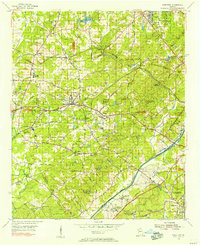
1954 · Mableton
USGS Topo · 1:24,000

1954 · Fairburn
USGS Topo · 1:24,000

1954 · Austell
USGS Topo · 1:24,000