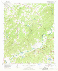
1954 Map of Campbellton
USGS Topo · Published 1968About this map
The Chattahoochee River serves as the dividing line between Douglas and Fulton counties, carving a deep path through a landscape of winding creeks and family-named landmarks. The historic river crossing at Campbellton remains a focal point, surrounded by agricultural districts and a network of named roads like Factory Road and Cascade Road. This mid-century survey reveals a rural society structured around small community hubs, evidenced by Mount Carmel Sch and several country churches including Community Grove Ch and Pleasant Grove Ch.
Find a feature on this map
56 named features on this map. Tap any name to fly to it.
Don’t see what you’re looking for? This feature index may not catch every label — zoom into the map to look around manually.
Map Details
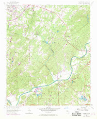
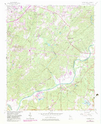
Editions of this 1954 Campbellton Map
4 editions found
Other maps of this area

1891 · Marietta
USGS Topo · 1:125,000

1895 · Marietta
USGS Topo · 1:125,000

1897 · Marietta
USGS Topo · 1:125,000

1901 · Marietta
USGS Topo · 1:125,000

1953 · Atlanta
USGS Topo · 1:250,000

1954 · Palmetto
USGS Topo · 1:24,000

1954 · Campbellton
USGS Topo · 1:24,000
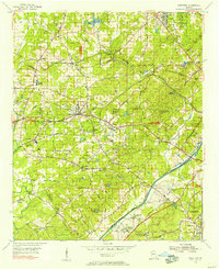
1954 · Mableton
USGS Topo · 1:24,000

1954 · Fairburn
USGS Topo · 1:24,000

1954 · Austell
USGS Topo · 1:24,000