
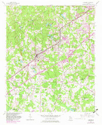
1954 Map of Fairburn
USGS Topo · Published 1956About this map
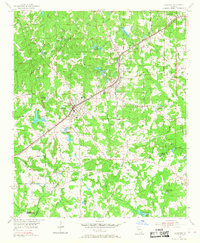
The Atlanta and West Point Railroad and the Atlantic Coast Line converge in this mid-century landscape, driving the growth of Fairburn and Union City. The corridor is defined by its transportation infrastructure, from the Roosevelt Highway to the smaller local paths like Trickum Road and Hall Road. Small agricultural settlements and community hubs are scattered throughout, marked by landmarks such as the Word Sch and numerous country churches, including Shadnor Ch and Welcome Grove Ch.
Find a feature on this map
81 named features on this map. Tap any name to fly to it.
Don’t see what you’re looking for? This feature index may not catch every label — zoom into the map to look around manually.
Map Details
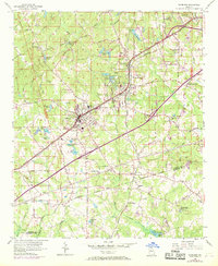
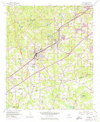
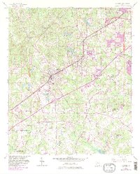
Editions of this 1954 Fairburn Map
6 editions found
Other maps of this area

1888 · Atlanta
USGS Topo · 1:125,000

1890 · Atlanta
USGS Topo · 1:125,000

1891 · Marietta
USGS Topo · 1:125,000

1892 · Atlanta
USGS Topo · 1:125,000

1895 · Atlanta
USGS Topo · 1:125,000

1895 · Marietta
USGS Topo · 1:125,000

1897 · Marietta
USGS Topo · 1:125,000

1901 · Marietta
USGS Topo · 1:125,000

1953 · Atlanta
USGS Topo · 1:250,000

1954 · Palmetto
USGS Topo · 1:24,000