
1954 Map of Palmetto
USGS Topo · Published 1955About this map
Rivertown and the rural communities of Goodes and Cedar Grove anchor this mid-century look at South Fulton and northern Coweta counties. The landscape is defined by the Chattahoochee River in the northwest corner and a network of named watercourses including Bear Creek and Pea Creek. The local economy of the 1950s is reflected in the path of the Atlanta and West Point railroad and the presence of a Quarry and a local Landing Field.
Find a feature on this map
51 named features on this map. Tap any name to fly to it.
Don’t see what you’re looking for? This feature index may not catch every label — zoom into the map to look around manually.
Map Details
Editions of this 1954 Palmetto Map
4 editions found
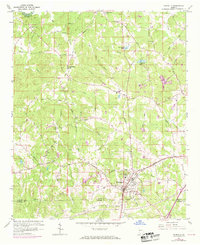
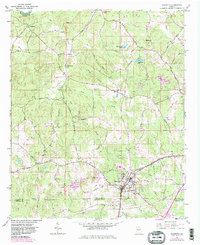
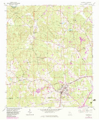
Other maps of this area

1891 · Marietta
USGS Topo · 1:125,000

1895 · Marietta
USGS Topo · 1:125,000

1897 · Marietta
USGS Topo · 1:125,000

1901 · Marietta
USGS Topo · 1:125,000

1953 · Atlanta
USGS Topo · 1:250,000

1954 · Campbellton
USGS Topo · 1:24,000

1954 · Fairburn
USGS Topo · 1:24,000
1954 · Ben Hill
USGS Topo · 1:24,000

1957 · Atlanta
USGS Topo · 1:250,000

1958 · Rico
USGS Topo · 1:24,000