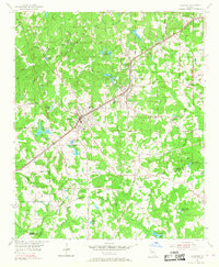
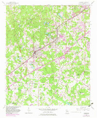
1954 Map of Fairburn
USGS Topo · Published 1968About this map
The Atlanta and West Point RR and the Atlantic Coast Line dictate the settlement patterns of south Fulton County on this 1954 survey. These rail corridors anchor the towns of Fairburn, Union City, and Red Oak, showing the mid-century transition from agrarian crossroads to established railroad suburbs. While the town centers are clustered near the tracks, the surrounding countryside remains dotted with family-named lakes like Eubanks Lake, Milams Lake, and Hendersons Lake, alongside institutional landmarks such as Word Sch and Shadnor Ch.
Find a feature on this map
66 named features on this map. Tap any name to fly to it.
Don’t see what you’re looking for? This feature index may not catch every label — zoom into the map to look around manually.
Map Details
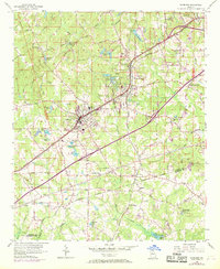
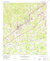
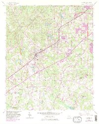
Editions of this 1954 Fairburn Map
6 editions found

Other maps of this area

1888 · Atlanta
USGS Topo · 1:125,000

1890 · Atlanta
USGS Topo · 1:125,000

1891 · Marietta
USGS Topo · 1:125,000

1892 · Atlanta
USGS Topo · 1:125,000

1895 · Atlanta
USGS Topo · 1:125,000

1895 · Marietta
USGS Topo · 1:125,000

1897 · Marietta
USGS Topo · 1:125,000

1901 · Marietta
USGS Topo · 1:125,000

1953 · Atlanta
USGS Topo · 1:250,000

1954 · Palmetto
USGS Topo · 1:24,000