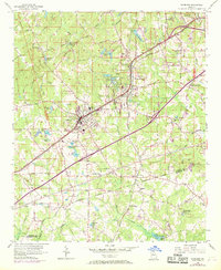
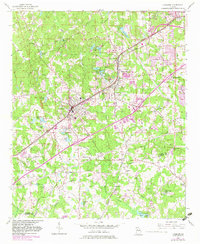
1954 Map of Fairburn
USGS Topo · Published 1969About this map
Fairburn and Union City anchor this 1950s landscape, illustrating the suburban and industrial expansion southwest of Atlanta before the late-century building boom. The Atlanta And West Point Railroad and the Seaboard Coast Line serve as primary transportation corridors, threading through communities like Stonewall and Red Oak. Local life is anchored by numerous small water bodies and rural institutions, including Union Grove Ch, Welcome Grove Ch, and Bethany Ch.
Find a feature on this map
71 named features on this map. Tap any name to fly to it.
Don’t see what you’re looking for? This feature index may not catch every label — zoom into the map to look around manually.
Map Details
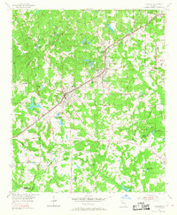
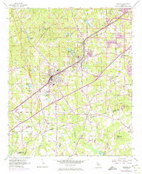
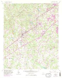
Editions of this 1954 Fairburn Map
6 editions found

Other maps of this area

1888 · Atlanta
USGS Topo · 1:125,000

1890 · Atlanta
USGS Topo · 1:125,000

1891 · Marietta
USGS Topo · 1:125,000

1892 · Atlanta
USGS Topo · 1:125,000

1895 · Atlanta
USGS Topo · 1:125,000

1895 · Marietta
USGS Topo · 1:125,000

1897 · Marietta
USGS Topo · 1:125,000

1901 · Marietta
USGS Topo · 1:125,000

1953 · Atlanta
USGS Topo · 1:250,000

1954 · Palmetto
USGS Topo · 1:24,000