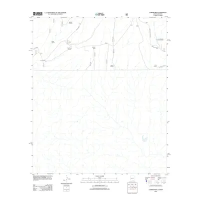
2012 Map of Campini Mesa
USGS Topo · Published 2012About this map
Campini Mesa and its network of deeply etched drainages define this Cochise County landscape along the international boundary. Early 21st-century ranching operations like Bercich Ranch and Lone Mountain Ranch anchor the northern reaches of the sheet, connected by a series of graded routes including Duquesne Rd and S Sunnyside Rd. The terrain is characterized by a series of prominent canyons—including Bodie, Sunnyside, School, and Cave—that cut through the high desert toward the southern border. This 2012 survey illustrates the modern isolation of the area, punctuated by the Lone Mountain International Airport and the trace of W International Rd running parallel to the fence line. Minor watercourses such as Joaquin Cr provide the only seasonal relief in this arid environment, where historical grazing tracks continue to shape local movement.
Find a feature on this map
14 named features on this map. Tap any name to fly to it.
Don’t see what you’re looking for? This feature index may not catch every label — zoom into the map to look around manually.
Map Details
Editions of this 2012 Campini Mesa Map
This is the sole edition of this map. No revisions or reprints were ever made.
Other maps of this area

1905 · Nogales
USGS Topo · 1:125,000

1914 · Hereford
USGS Topo · 1:125,000

1922 · Sunnyside
USGS Topo · 1:62,500

1932 · Lochiel
USGS Topo · 1:62,500

1938 · Sunnyside
USGS Topo · 1:62,500

1948 · Canelo Pass
USGS Topo · 1:24,000

1948 · Huachuca Peak
USGS Topo · 1:24,000

1948 · Miller Peak
USGS Topo · 1:24,000

1948 · Sunnyside SE
USGS Topo · 1:24,000
1948 · Sunnyside SW
USGS Topo · 1:24,000