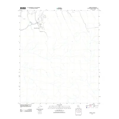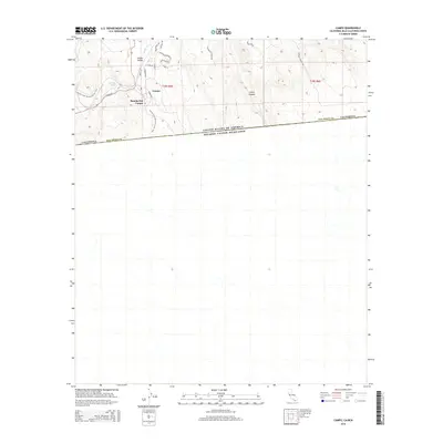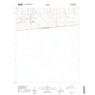
1939 Map of Campo
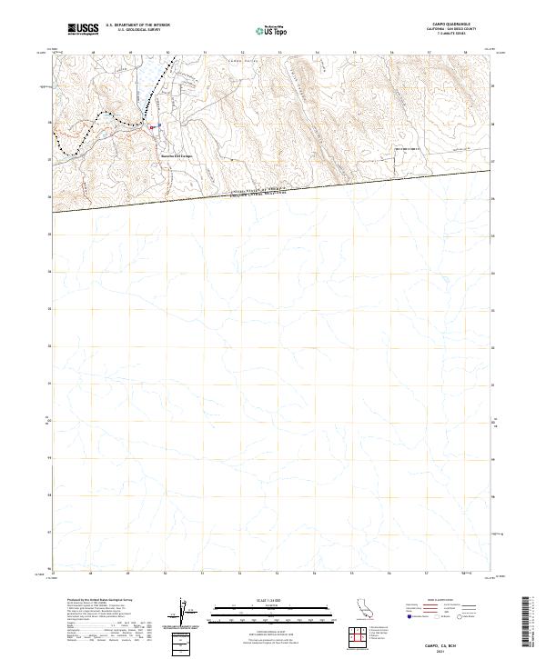
USGS Topo · Published 1956About this map
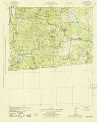
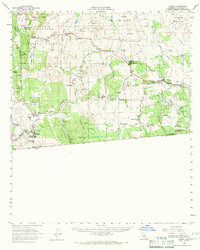
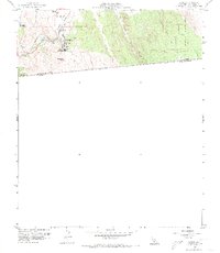
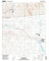
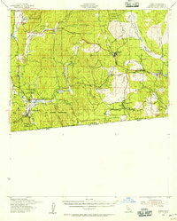
The international border between California and Baja California anchors this southern San Diego County survey, highlighting a landscape defined by ranching, mountain valleys, and the transition into the high desert. Just north of the United States and Mexico boundary, the border town of Campo serves as a focal point, hosting U S Customs and a U S Military Reservation. The San Diego and Arizona Eastern railroad winds through the complex topography, connecting stops like Hipass Sta and Pueblo Siding. Numerous tribal lands, including the Campo Indian Reservation, La Posta Indian Reservation, and Manzanita Indian Reservation, are interspersed with private holdings like Coogan Ranch and Castle Rock Ranch. The road network follows established paths like U S Highway 80, which passes through mountain communities such as Boulder Oaks and Live Oak Springs.
Find a feature on this map
45 named features on this map. Tap any name to fly to it.
Don’t see what you’re looking for? This feature index may not catch every label — zoom into the map to look around manually.
Map Details
Editions of this 1939 Campo Map
This is the sole edition of this map. No revisions or reprints were ever made.
Historical Maps of Campo Through Time
9 maps found