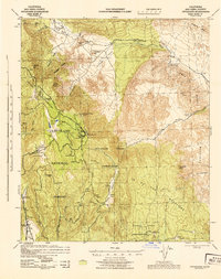
1942 Map of Cuyapaipe
USGS Topo · Published 1944About this map
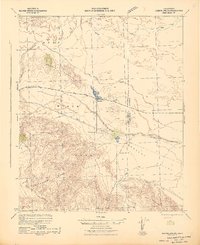
The Laguna Mountains dominate this 1942 landscape, where high-altitude cattle ranching and recreational camps meet the harsh desert descent. The newly established Sunrise Highway provides access to the Cleveland National Forest, passing notable landmarks like the Monument Peak Lookout and several public camps such as Laguna Public Camp. This era represents a transition point for the region, balancing early 20th-century mineral extraction at the Sundown Tungsten Mine and Noble Mines with the emerging tourism at Agua Caliente Hot Springs.
Find a feature on this map
53 named features on this map. Tap any name to fly to it.
Don’t see what you’re looking for? This feature index may not catch every label — zoom into the map to look around manually.
Map Details
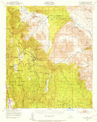
Editions of this 1942 Cuyapaipe Map
3 editions found

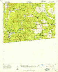
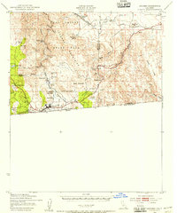
Other maps of this area

1903 · Cuyamaca
USGS Topo · 1:125,000

1903 · Ramona
USGS Topo · 1:125,000

1904 · Southern California Sheet No. 2
USGS Topo · 1:250,000

1931 · Vallecito
USGS Topo · 1:125,000

1931 · Carrizo
USGS Topo · 1:125,000
1939 · Campo
USGS Topo · 1:62,500

1939 · Santa Ysabel
USGS Topo · 1:62,500

1939 · Borrego
USGS Topo · 1:62,500
1939 · Jacumba
USGS Topo · 1:62,500
1942 · Barrel Spring
USGS Topo · 1:62,500