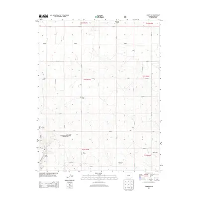
2013 Map of Campo SW
USGS Topo · Published 2013About this map
Comanche National Grassland dominates the southern reaches of this Baca County landscape, revealing a system of canyons and draws that define the High Plains topography. The drainage patterns of North Ute Canyon and West Squaw Canyon cut through the high desert, leading toward the more complex terrain of Athurs Canyon and Red Canyon in the south. This area is noted for its recreational access, specifically at the Picture Canyon Picnic Area, which serves as a trailhead for the Arch Rock Trail 1881. The map also details the rigid section lines of the Public Land Survey System, expressed through an extensive grid of local routes like CO Road K and CO Road 25, which provide access to the expansive grazing lands and the localized Nevitt Draw near the eastern boundary.
Find a feature on this map
34 named features on this map. Tap any name to fly to it.
Don’t see what you’re looking for? This feature index may not catch every label — zoom into the map to look around manually.
Map Details
Editions of this 2013 Campo SW Map
This is the sole edition of this map. No revisions or reprints were ever made.
Other maps of this area

1891 · Springfield
USGS Topo · 1:125,000

1893 · Springfield
USGS Topo · 1:125,000

1954 · Dalhart
USGS Topo · 1:250,000

1955 · La Junta
USGS Topo · 1:250,000

1958 · La Junta
USGS Topo · 1:250,000

1958 · Dalhart
USGS Topo · 1:250,000

1962 · Dalhart
USGS Topo · 1:250,000

1968 · La Junta
USGS Topo · 1:250,000

1968 · Autograph Cliff NW
USGS Topo · 1:24,000
1969 · Kenton NE
USGS Topo · 1:24,000