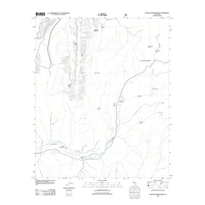
2012 Map of Canada Gobernadora
USGS Topo · Published 2012About this map
Coto De Caza and Dove Canyon anchor the northern landscape of this Southern California survey, where residential development meets the dramatic topography of the Santa Ana Mountains. The area is defined by a series of north-south canyons, including Wagon Wheel Canyon and Bell Canyon, which drain toward the valley floor. Near the southern boundary, the settlement of Mission Vieja and the Cañada Gobernadora land tract sit alongside the winding path of San Juan Cr. The map highlights a distinct mix of planned communities and natural corridors, such as San Juan Canyon and the Youth Conservation Camp. Historically significant water sources like San Juan Hot Springs and Crow Spring are noted, while an intricate network of ranch roads like Nursery Rd and Ranch Carrillo Rd provides a look into the region's agricultural and transit history.
Find a feature on this map
36 named features on this map. Tap any name to fly to it.
Don’t see what you’re looking for? This feature index may not catch every label — zoom into the map to look around manually.
Map Details
Editions of this 2012 Canada Gobernadora Map
This is the sole edition of this map. No revisions or reprints were ever made.
Other maps of this area

1901 · Southern California Sheet No. 1
USGS Topo · 1:250,000

1901 · Elsinore
USGS Topo · 1:125,000

1901 · San Luis Rey
USGS Topo · 1:125,000

1902 · Capistrano
USGS Topo · 1:125,000

1902 · Corona
USGS Topo · 1:125,000

1904 · Southern California Sheet No. 2
USGS Topo · 1:250,000

1904 · Southern California Sheet No. 1
USGS Topo · 1:250,000

1906 · Capistrano
USGS Topo · 1:125,000

1935 · El Toro
USGS Topo · 1:31,680

1941 · Margarita Peak
USGS Topo · 1:62,500
Featured Places
- Rancho Santa Margarita, CA
- San Juan Capistrano, CA
- Coto De Caza, Coto de Caza
- San Juan Hot Springs, CA
- Trabuco Highlands, Rancho Santa Margarita