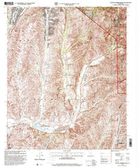
1997 Map of Canada Gobernadora
USGS Topo · Published 2000About this map
Trabuco Grant and the Casper Regional Park dominate this 1997 revision of the southern California backcountry, where canyons and ancient land grants define the landscape. The geography is characterized by the confluence of San Juan Creek and the Cañada Gobernadora, a region preserved under the Cleveland National Forest and the San Mateo Canyon Wilderness. The map provides essential documentation for local historians, marking the specific locations of the San Francisco Solano (Site) and the Mission Vieja (Site), along with the noted San Juan Hot Springs.
Find a feature on this map
37 named features on this map. Tap any name to fly to it.
Don’t see what you’re looking for? This feature index may not catch every label — zoom into the map to look around manually.
Map Details
Editions of this 1997 Canada Gobernadora Map
This is the sole edition of this map. No revisions or reprints were ever made.
Other maps of this area

1901 · Southern California Sheet No. 1
USGS Topo · 1:250,000

1901 · Elsinore
USGS Topo · 1:125,000

1901 · San Luis Rey
USGS Topo · 1:125,000

1902 · Capistrano
USGS Topo · 1:125,000

1902 · Corona
USGS Topo · 1:125,000

1904 · Southern California Sheet No. 2
USGS Topo · 1:250,000

1904 · Southern California Sheet No. 1
USGS Topo · 1:250,000

1906 · Capistrano
USGS Topo · 1:125,000

1935 · El Toro
USGS Topo · 1:31,680

1941 · Margarita Peak
USGS Topo · 1:62,500