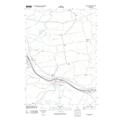
2010 Map of Canajoharie
USGS Topo · Published 2010About this map
The Mohawk River corridor anchors this 2010 survey of Montgomery County, where the historic Erie Canal runs parallel to modern transit routes between the river towns of Canajoharie and Fort Plain. This geography is defined by the narrow valley and the surrounding high ground of Maple Hill and Round Top. The settlement pattern reflects centuries of development, from the riverfront villages of Nelliston and Palatine Bridge to the older upland farming communities of Stone Arabia and East Stone Arabia.
Find a feature on this map
76 named features on this map. Tap any name to fly to it.
Don’t see what you’re looking for? This feature index may not catch every label — zoom into the map to look around manually.
Map Details
Editions of this 2010 Canajoharie Map
This is the sole edition of this map. No revisions or reprints were ever made.
Other maps of this area

1896 · Fonda
USGS Topo · 1:62,500

1898 · Fonda
USGS Topo · 1:62,500

1898 · Canajoharie
USGS Topo · 1:62,500

1900 · Canajoharie
USGS Topo · 1:62,500

1901 · Lassellsville
USGS Topo · 1:62,500

1902 · Canajoharie
USGS Topo · 1:62,500

1902 · Fonda
USGS Topo · 1:62,500

1903 · Gloversville
USGS Topo · 1:62,500

1903 · Lassellsville
USGS Topo · 1:62,500

1943 · Gloversville
USGS Topo · 1:62,500