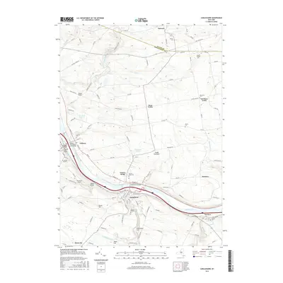
2016 Map of Canajoharie
USGS Topo · Published 2016About this map
Canajoharie and Palatine Bridge anchor this survey of the Mohawk Valley, where the Mohawk River serves as the central artery for transportation and settlement. The geography is defined by a series of significant crossings, including the Mohawk River Barge Canal Bridge and the Mohawk River Bridge, illustrating the corridor's long-standing importance as a transit gateway. Along the northern banks, the village of Nelliston and the historic settlement of Stone Arabia reflect the agricultural and community foundations of Montgomery County.
Find a feature on this map
119 named features on this map. Tap any name to fly to it.
Don’t see what you’re looking for? This feature index may not catch every label — zoom into the map to look around manually.
Map Details
Editions of this 2016 Canajoharie Map
This is the sole edition of this map. No revisions or reprints were ever made.
Other maps of this area

1896 · Fonda
USGS Topo · 1:62,500

1898 · Fonda
USGS Topo · 1:62,500

1898 · Canajoharie
USGS Topo · 1:62,500

1900 · Canajoharie
USGS Topo · 1:62,500

1901 · Lassellsville
USGS Topo · 1:62,500

1902 · Canajoharie
USGS Topo · 1:62,500

1902 · Fonda
USGS Topo · 1:62,500

1903 · Gloversville
USGS Topo · 1:62,500

1903 · Lassellsville
USGS Topo · 1:62,500

1943 · Gloversville
USGS Topo · 1:62,500