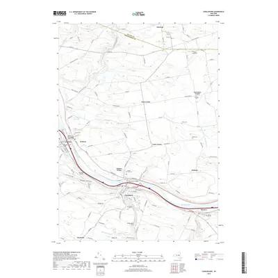
2019 Map of Canajoharie
USGS Topo · Published 2019About this map
The Mohawk River corridor serves as the primary artery through this Montgomery County landscape, connecting the neighboring villages of Canajoharie and Palatine Bridge. This central valley is defined by significant infrastructure including the Mohawk River Bridge and the Mohawk River Barge Canal Bridge, which facilitate regional transport alongside the interstate. Further north, the terrain transitions into agricultural and residential areas such as Stone Arabia and East Stone Arabia, where family histories are preserved in several scattered burial grounds like Dillenback Cem and Sitterly Cem.
Find a feature on this map
117 named features on this map. Tap any name to fly to it.
Don’t see what you’re looking for? This feature index may not catch every label — zoom into the map to look around manually.
Map Details
Editions of this 2019 Canajoharie Map
This is the sole edition of this map. No revisions or reprints were ever made.
Other maps of this area

1896 · Fonda
USGS Topo · 1:62,500

1898 · Fonda
USGS Topo · 1:62,500

1898 · Canajoharie
USGS Topo · 1:62,500

1900 · Canajoharie
USGS Topo · 1:62,500

1901 · Lassellsville
USGS Topo · 1:62,500

1902 · Canajoharie
USGS Topo · 1:62,500

1902 · Fonda
USGS Topo · 1:62,500

1903 · Gloversville
USGS Topo · 1:62,500

1903 · Lassellsville
USGS Topo · 1:62,500

1943 · Gloversville
USGS Topo · 1:62,500