Loading...
Loading map...2023 Map of Canjilon
USGS Topo · Published 2023About this map
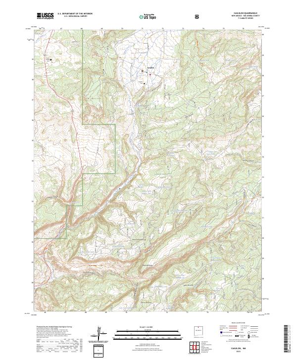
Canjilon sits at the heart of this high-elevation landscape within the Carson National Forest, where traditional land use patterns meet modern conservation. The settlement is anchored by the Canjilon Cem, while the Canjilon Creek drainage provides a vital water source through the center of the quadrangle. This 2023 survey illustrates the area's intricate network of canyon and mesa terrain, including Mesa Juan Domingo and Mesa Montosa.
Find a feature on this map
58 named features on this map. Tap any name to fly to it.
Don’t see what you’re looking for? This feature index may not catch every label — zoom into the map to look around manually.
Map Details
Date Portrayed2023
Date Published2023
PublisherU.S. Geological Survey
Map TypeTopographic
Scale1:24000
Physical Dimensions24 x 29 inches
Editions of this 2023 Canjilon Map
This is the sole edition of this map. No revisions or reprints were ever made.
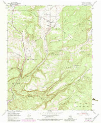
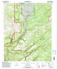
Historical Maps of Placitas Through Time
3 maps found
Featured Locations
Source Details
SourceU.S. Geological Survey
CopyrightPublic Domain