1953 Map of Canjilon
USGS Topo · Published 1984About this map
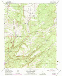
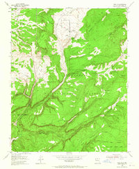
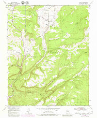
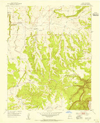
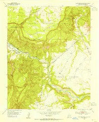
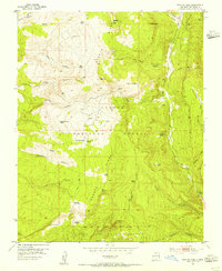
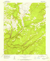
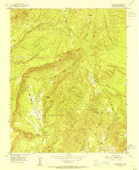
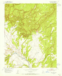
Canjilon sits at the heart of this high-elevation landscape, where the settlement and nearby Groesbeck are situated along the winding valley of Canjilon Creek. This 1953 survey, updated with late-1970s land use data, illustrates a complex network of mesa tops and deep canyons within the Carson National Forest. The geography is defined by prominent features like Juan Domingo Mesa and Mesa del Medio, partitioned by water-carved features such as Montoya Canyon and Blas Canyon.
Find a feature on this map
29 named features on this map. Tap any name to fly to it.
Don’t see what you’re looking for? This feature index may not catch every label — zoom into the map to look around manually.
Map Details
Editions of this 1953 Canjilon Map
4 editions found
Other maps of this area

1909 · Gallina
USGS Topo · 1:125,000

1918 · Abiquiu
USGS Topo · 1:125,000

1918 · Tusas
USGS Topo · 1:125,000
1953 · Alire
USGS Topo · 1:24,000
1953 · Echo Ampitheater
USGS Topo · 1:24,000
1953 · Magote Peak
USGS Topo · 1:24,000
1953 · Canjilon
USGS Topo · 1:24,000
1953 · Canjilon SE
USGS Topo · 1:24,000
1953 · Ghost Ranch
USGS Topo · 1:24,000

1954 · Aztec
USGS Topo · 1:250,000