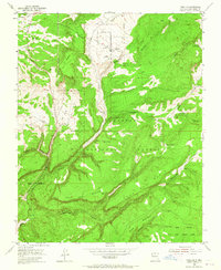
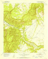
1953 Map of Canjilon
USGS Topo · Published 1965About this map
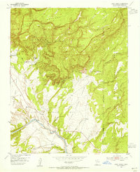
Canjilon sits at the heart of this high-elevation landscape in Rio Arriba County, appearing here as it was surveyed in the early 1950s. The settlement pattern follows the fertile drainage of Canjilon Creek, with the smaller communities of Placitas and Llanito de la Cruz marking the local habitation. Much of the surrounding territory is defined by the steep relief of the Carson National Forest, where deep incisions like Oso Canyon and high mesas such as La Mesita dominate the topography. This survey captures a moment when water management was critical for the local economy, evidenced by named livestock or irrigation features like Garcia Tank and Yeso Tank. The intricate drainage network, including Arroyo Blanco and Arroyo del Seco, illustrates the complex erosion patterns and water courses that dictated where roads and homes were built in this northern New Mexico terrain.
Find a feature on this map
12 named features on this map. Tap any name to fly to it.
Don’t see what you’re looking for? This feature index may not catch every label — zoom into the map to look around manually.
Map Details
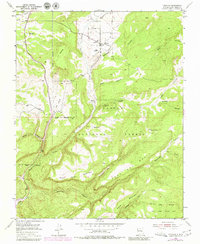
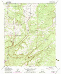
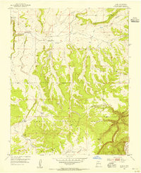
Editions of this 1953 Canjilon Map
4 editions found
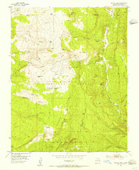
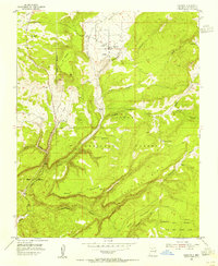
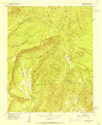
Other maps of this area

1909 · Gallina
USGS Topo · 1:125,000

1918 · Abiquiu
USGS Topo · 1:125,000

1918 · Tusas
USGS Topo · 1:125,000
1953 · Alire
USGS Topo · 1:24,000
1953 · Echo Ampitheater
USGS Topo · 1:24,000
1953 · Magote Peak
USGS Topo · 1:24,000
1953 · Canjilon
USGS Topo · 1:24,000
1953 · Canjilon SE
USGS Topo · 1:24,000
1953 · Ghost Ranch
USGS Topo · 1:24,000

1954 · Aztec
USGS Topo · 1:250,000