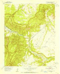
1953 Map of Canjilon
USGS Topo · Published 1980About this map
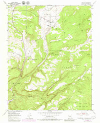
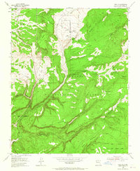
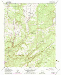
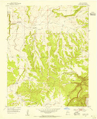
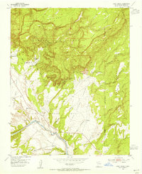
Canjilon sits at the heart of this landscape, a remote settlement where the high desert meets the wooded slopes of the Carson National Forest. The map documents a traditional agricultural and ranching area in northern New Mexico, centered around the Canjilon Creek drainage. Smaller outposts like Placitas and Llanito de la Cruz are mapped alongside local landmarks such as the Cedar Grove Cemetery and Canjilon Cemetery. The terrain is characterized by a complex system of mesa and canyon topography, including Montosa Mesa and the deep Canjilon Canyon. The southern portion of the sheet is defined by the Juan Jose Lobato Grant Boundary, reflecting the region's history of Spanish land grants. Numerous ephemeral waterways like Arroyo Blanco and Arroyo Seco carve through the landscape, illustrating the critical importance of water management in this arid environment.
Find a feature on this map
28 named features on this map. Tap any name to fly to it.
Don’t see what you’re looking for? This feature index may not catch every label — zoom into the map to look around manually.
Map Details
Editions of this 1953 Canjilon Map
4 editions found
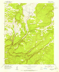
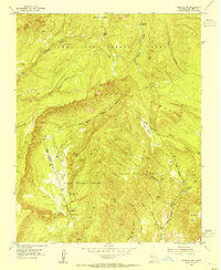
Other maps of this area

1909 · Gallina
USGS Topo · 1:125,000

1918 · Abiquiu
USGS Topo · 1:125,000

1918 · Tusas
USGS Topo · 1:125,000
1953 · Alire
USGS Topo · 1:24,000
1953 · Echo Ampitheater
USGS Topo · 1:24,000
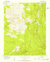
1953 · Magote Peak
USGS Topo · 1:24,000
1953 · Canjilon
USGS Topo · 1:24,000
1953 · Canjilon SE
USGS Topo · 1:24,000
1953 · Ghost Ranch
USGS Topo · 1:24,000

1954 · Aztec
USGS Topo · 1:250,000