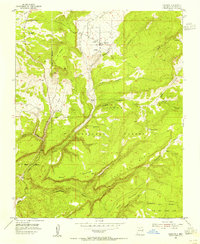
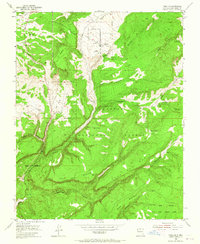
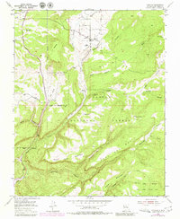
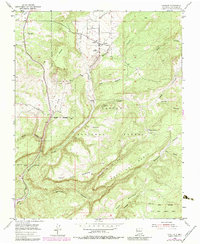
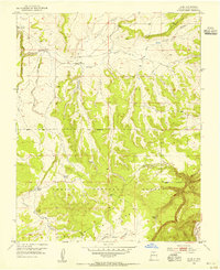
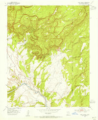
1953 Map of Canjilon
USGS Topo · Published 1955About this map
Canjilon and the neighboring settlement of Groesbeck sit at the northern edge of this high-elevation landscape, where the Canjilon Creek valley cuts through the surrounding mesas. The map reveals a cluster of small communities and family-named landmarks, such as Placitas and Llanito de la Cruz, tucked into the drainages of the Carson National Forest. For genealogists, the presence of the Cedar Grove Cemetery and Canjilon Cemetery provides specific locations for tracing local family histories in this part of Rio Arriba County. The terrain is defined by massive landforms like Mesa del Medio and Mesa Juan Domingo, separated by deep canyons such as Montoya Canyon and Navajo Canyon. The southern portion of the sheet is largely dominated by the Juan Jose Lobato Grant Boundary, reflecting the complex historical land grant divisions common in this region of New Mexico.
Find a feature on this map
29 named features on this map. Tap any name to fly to it.
Don’t see what you’re looking for? This feature index may not catch every label — zoom into the map to look around manually.
Map Details
Editions of this 1953 Canjilon Map
4 editions found
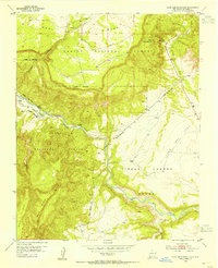
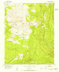
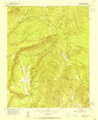
Other maps of this area

1909 · Gallina
USGS Topo · 1:125,000

1918 · Abiquiu
USGS Topo · 1:125,000

1918 · Tusas
USGS Topo · 1:125,000
1953 · Alire
USGS Topo · 1:24,000
1953 · Echo Ampitheater
USGS Topo · 1:24,000
1953 · Magote Peak
USGS Topo · 1:24,000
1953 · Canjilon SE
USGS Topo · 1:24,000
1953 · Ghost Ranch
USGS Topo · 1:24,000

1954 · Aztec
USGS Topo · 1:250,000
1955 · Cebolla
USGS Topo · 1:62,500