
1953 Map of Magote Peak
USGS Topo · Published 1955About this map
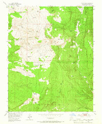
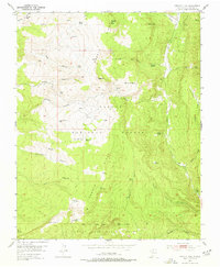
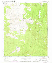
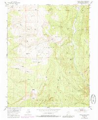
Magote Ridge dominates this mid-century landscape in the Carson National Forest, where the terrain is marked by a complex system of canyons and high-altitude water sources. The map captures the northern reaches of the Juan Jose Lobato Grant, illustrating the intersection of historic land grants and federal forest management. Water is a defining element for surveyors and inhabitants alike, with numerous named tanks and springs such as Martinez Tank and Jose Maria Spring dotting the drainages. The presence of Harris Bear Camp and the small settlement at Puertecito de las Ranas suggests a landscape utilized for seasonal work and mountain transit. Notable landmarks like Magote Peak and high-elevation lakes, including Laguna Pinabete Mocho and Laguna de las Ranas, highlight the diverse geography of the Rio Arriba highlands before modern infrastructure significantly altered the back-country access routes.
Find a feature on this map
45 named features on this map. Tap any name to fly to it.
Don’t see what you’re looking for? This feature index may not catch every label — zoom into the map to look around manually.
Map Details
Editions of this 1953 Magote Peak Map
5 editions found
Other maps of this area

1918 · Abiquiu
USGS Topo · 1:125,000

1918 · Tusas
USGS Topo · 1:125,000

1953 · Valle Grande Peak
USGS Topo · 1:24,000

1953 · Canjilon
USGS Topo · 1:24,000

1953 · El Rito
USGS Topo · 1:24,000

1953 · Canjilon SE
USGS Topo · 1:24,000

1953 · Ghost Ranch
USGS Topo · 1:24,000

1954 · Aztec
USGS Topo · 1:250,000

1955 · Cebolla
USGS Topo · 1:62,500

1958 · Aztec
USGS Topo · 1:250,000