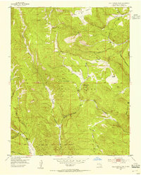
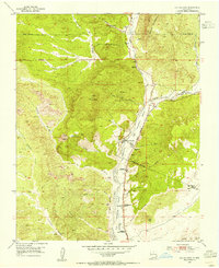
1953 Map of El Rito
USGS Topo · Published 1955About this map
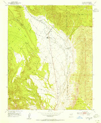
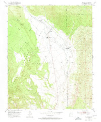
El Rito and the neighboring Las Placitas are the focal points of this mid-century New Mexico landscape, situated within the Juan Jose Lobato Grant. A complex network of irrigation ditches, including the Acequia Del Monte, Acequia Medio, and Acequia Del Madre, defines the valley's agricultural character as it draws from the waters of El Rito. This dependency on traditional water rights is a central feature of the local geography, supporting the valley floor before the terrain rises sharply into the Carson National Forest.
Find a feature on this map
26 named features on this map. Tap any name to fly to it.
Don’t see what you’re looking for? This feature index may not catch every label — zoom into the map to look around manually.
Map Details
Editions of this 1953 El Rito Map
2 editions found
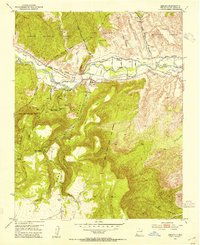
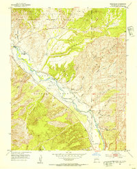
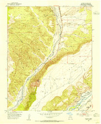
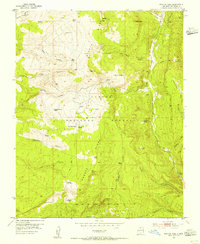
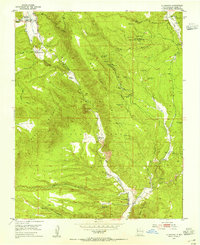
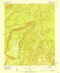
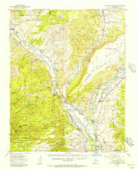
Other maps of this area

1918 · Abiquiu
USGS Topo · 1:125,000
1953 · Abiquiu
USGS Topo · 1:24,000
1953 · Medanales
USGS Topo · 1:24,000
1953 · Valle Grande Peak
USGS Topo · 1:24,000
1953 · Lyden
USGS Topo · 1:24,000
1953 · Magote Peak
USGS Topo · 1:24,000
1953 · La Madera
USGS Topo · 1:24,000
1953 · Ojo Caliente
USGS Topo · 1:24,000
1953 · Canjilon SE
USGS Topo · 1:24,000
1953 · San Juan Pueblo
USGS Topo · 1:62,500