
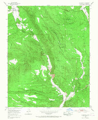
1953 Map of La Madera
USGS Topo · Published 1955About this map
Mesa de la Jarita dominates this mid-century landscape in the Carson National Forest, where the complex geology of the La Madera Mountains meets a highly active mineral district. In the early 1950s, the area was a hive of extraction, featuring a concentrated network of mica and mineral claims. These include several operations marked active at the time of survey, such as the La Paloma Mine, Pineapple Group Mine, and Sunnyside Mine. An Ore Mill is even noted as being under construction, signaling a period of industrial investment.
Find a feature on this map
48 named features on this map. Tap any name to fly to it.
Don’t see what you’re looking for? This feature index may not catch every label — zoom into the map to look around manually.
Map Details
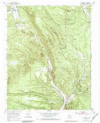
Editions of this 1953 La Madera Map
3 editions found
Other maps of this area

1918 · Abiquiu
USGS Topo · 1:125,000

1918 · Tusas
USGS Topo · 1:125,000

1953 · Valle Grande Peak
USGS Topo · 1:24,000

1953 · El Rito
USGS Topo · 1:24,000

1953 · Ojo Caliente
USGS Topo · 1:24,000

1954 · Raton
USGS Topo · 1:250,000

1954 · Aztec
USGS Topo · 1:250,000

1958 · Raton
USGS Topo · 1:250,000

1958 · Aztec
USGS Topo · 1:250,000

1960 · Taos Junction
USGS Topo · 1:24,000