
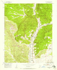
1953 Map of Ojo Caliente
USGS Topo · Published 1955About this map
Rio Ojo Caliente flows through the center of this high-desert landscape, where agricultural and mineral interests once converged along the Ojo Caliente Grant Boundary. The village of Ojo Caliente and the nearby post office at Gallegos serve as the primary hubs for a series of smaller settlements like Duranes and Gavilan. This 1953 field check captures the area's transition into the mid-century, documenting an economy tied to both the land and resources, with the San Texas Mine and Joseph Mine located just north of the town center.
Find a feature on this map
43 named features on this map. Tap any name to fly to it.
Don’t see what you’re looking for? This feature index may not catch every label — zoom into the map to look around manually.
Map Details
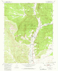
Editions of this 1953 Ojo Caliente Map
Other maps of this area

1918 · Abiquiu
USGS Topo · 1:125,000

1953 · Medanales
USGS Topo · 1:24,000

1953 · Valle Grande Peak
USGS Topo · 1:24,000

1953 · Lyden
USGS Topo · 1:24,000

1953 · Velarde
USGS Topo · 1:24,000

1953 · El Rito
USGS Topo · 1:24,000

1953 · La Madera
USGS Topo · 1:24,000

1953 · San Juan Pueblo
USGS Topo · 1:62,500

1954 · Raton
USGS Topo · 1:250,000

1954 · Aztec
USGS Topo · 1:250,000