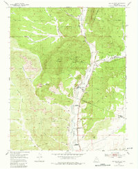
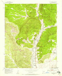
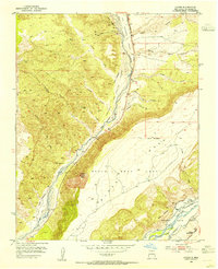
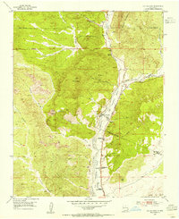
1953 Map of Ojo Caliente
USGS Topo · Published 1981About this map
The Rio Ojo Caliente valley serves as the central corridor for life and commerce in this mid-century New Mexico landscape. The community of Ojo Caliente acts as a primary hub, supported by smaller settlements like Gallegos, Duranes, and Gavilan. Irrigation infrastructure, including the Ojo Caliente Ditch, indicates the vital role of water management in this arid environment, while the presence of the Ojo Caliente Sch and Ojo Caliente Cem point to established civic and familial roots.
Find a feature on this map
41 named features on this map. Tap any name to fly to it.
Don’t see what you’re looking for? This feature index may not catch every label — zoom into the map to look around manually.
Map Details
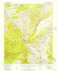
Editions of this 1953 Ojo Caliente Map
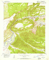
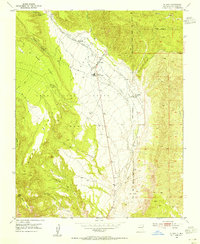
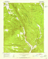
Other maps of this area

1918 · Abiquiu
USGS Topo · 1:125,000
1953 · Medanales
USGS Topo · 1:24,000
1953 · Valle Grande Peak
USGS Topo · 1:24,000
1953 · Lyden
USGS Topo · 1:24,000
1953 · Velarde
USGS Topo · 1:24,000
1953 · El Rito
USGS Topo · 1:24,000
1953 · La Madera
USGS Topo · 1:24,000
1953 · Ojo Caliente
USGS Topo · 1:24,000
1953 · San Juan Pueblo
USGS Topo · 1:62,500

1954 · Raton
USGS Topo · 1:250,000