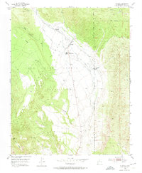
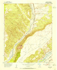
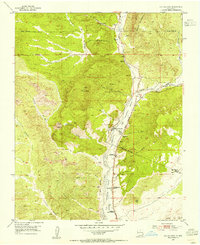
1953 Map of El Rito
USGS Topo · Published 1974About this map
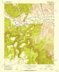
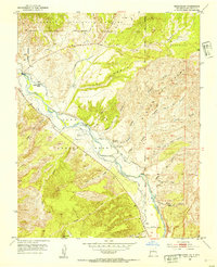
El Rito sits at the heart of this high-altitude landscape, where the traditional water management systems of northern New Mexico are clearly visible. The map documents a complex network of irrigation ditches, including the Acequia del Monte, Acequia Medio, and Acequia del Madre, which divert water from the El Rito stream to support the valley's agriculture. This reliance on gravity-fed irrigation is a hallmark of the region's Spanish colonial heritage, further evidenced by the Juan Jose Lobato Grant Boundary which divides the territory.
Find a feature on this map
25 named features on this map. Tap any name to fly to it.
Don’t see what you’re looking for? This feature index may not catch every label — zoom into the map to look around manually.
Map Details
Editions of this 1953 El Rito Map
2 editions found
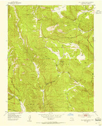
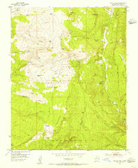
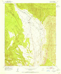
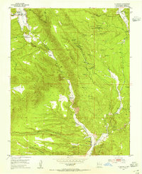
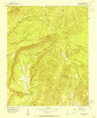
Other maps of this area

1918 · Abiquiu
USGS Topo · 1:125,000
1953 · Abiquiu
USGS Topo · 1:24,000
1953 · Medanales
USGS Topo · 1:24,000
1953 · Valle Grande Peak
USGS Topo · 1:24,000
1953 · Lyden
USGS Topo · 1:24,000
1953 · Magote Peak
USGS Topo · 1:24,000
1953 · El Rito
USGS Topo · 1:24,000
1953 · La Madera
USGS Topo · 1:24,000
1953 · Ojo Caliente
USGS Topo · 1:24,000
1953 · Canjilon SE
USGS Topo · 1:24,000