
1953 Map of Canjilon SE
USGS Topo · Published 1955About this map
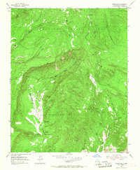
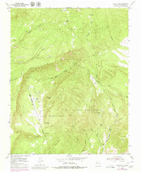
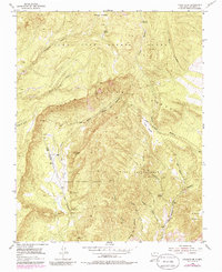
Spanish land grants define the geography of this Northern New Mexico landscape, where the Plaza Blanca Grant, Plaza Colorada Grant, and Juan Jose Lobato Grant converge. The terrain is deeply incised by drainages such as Arroyo del Cobre and Arroyo de la Ventana, reflecting a rugged environment that historically supported small-scale mining and seasonal grazing. Evidence of past industry is preserved in labels for Las Minas de Pedro (Inactive) and Las Minas Jimmie (Inactive), both located within the canyon systems south of the Carson National Forest boundary.
Find a feature on this map
33 named features on this map. Tap any name to fly to it.
Don’t see what you’re looking for? This feature index may not catch every label — zoom into the map to look around manually.
Map Details
Editions of this 1953 Canjilon SE Map
4 editions found
Other maps of this area

1918 · Abiquiu
USGS Topo · 1:125,000

1953 · Canones
USGS Topo · 1:24,000

1953 · Abiquiu
USGS Topo · 1:24,000

1953 · Medanales
USGS Topo · 1:24,000

1953 · Valle Grande Peak
USGS Topo · 1:24,000

1953 · Magote Peak
USGS Topo · 1:24,000

1953 · Canjilon
USGS Topo · 1:24,000

1953 · El Rito
USGS Topo · 1:24,000

1953 · Ghost Ranch
USGS Topo · 1:24,000

1953 · San Juan Pueblo
USGS Topo · 1:62,500