
1953 Map of Canones
USGS Topo · Published 1954About this map
Piedra Lumbre Grant and the Juan Jose Lobato Grant define the land distribution of this Rio Arriba landscape in the early 1950s. The village of Cañones serves as the central settlement, supported by the Cañones Grade School and the Capilla de San Miguel. The presence of the San Miguel Cem and Indian Ruins near Pueblo Mesa points to a deep timeline of habitation and community heritage in the shadow of Cerro Pedernal. The Rio Chama flows through the northern reaches, where the Abeyta Trujillo Ditch illustrates the vital role of traditional acequias in local agriculture. High plateaus like Polvadera Mesa and Cañones Mesa rise above the drainage systems of Polvadera Creek and Chihuahueños Creek, separating the distinct land grants and national forest lands of the Carson and Santa Fe National Forest.
Find a feature on this map
43 named features on this map. Tap any name to fly to it.
Don’t see what you’re looking for? This feature index may not catch every label — zoom into the map to look around manually.
Map Details
Editions of this 1953 Canones Map
4 editions found
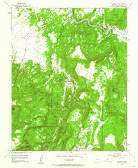
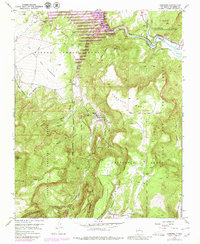
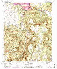
Other maps of this area

1909 · Gallina
USGS Topo · 1:125,000

1918 · Abiquiu
USGS Topo · 1:125,000

1953 · Cerro Del Grant
USGS Topo · 1:24,000

1953 · Abiquiu
USGS Topo · 1:24,000

1953 · Vallecitos
USGS Topo · 1:24,000

1953 · Polvadera Peak
USGS Topo · 1:24,000

1953 · Echo Ampitheater
USGS Topo · 1:24,000

1953 · Canjilon SE
USGS Topo · 1:24,000

1953 · Youngsville
USGS Topo · 1:24,000

1953 · Ghost Ranch
USGS Topo · 1:24,000