
1953 Map of Youngsville
USGS Topo · Published 1955About this map
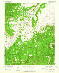
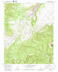
Youngsville and Coyote serve as the primary human outposts in this 1953 landscape, situated where the high desert mesa meets the rising slopes of the Santa Fe National Forest. The geography is defined by the expansive Piedra Lumbre Grant, where the Rio Puerco carves through the terrain alongside La Joya del Pedregal. Evidence of high-country seasonal life or ranching is visible through remote landmarks like the C Serrano Cabin and E Serrano Cabin, tucked near Rito Encino and Temolime Canyon. The map prominently features the dramatic profile of Cerro Pedernal in the southeast, a landmark that dominates the local horizon. Transportation is limited to rugged tracks and unimproved roads, reflecting a period when the Coyote Ranger Station managed a vast, sparsely populated territory of mesas like Mesa Naranjo and drainage systems including Rito de las Sillas.
Find a feature on this map
23 named features on this map. Tap any name to fly to it.
Don’t see what you’re looking for? This feature index may not catch every label — zoom into the map to look around manually.
Map Details
Editions of this 1953 Youngsville Map
3 editions found
Other maps of this area

1909 · Gallina
USGS Topo · 1:125,000

1918 · Abiquiu
USGS Topo · 1:125,000

1953 · Canones
USGS Topo · 1:24,000

1953 · Cerro Del Grant
USGS Topo · 1:24,000

1953 · Polvadera Peak
USGS Topo · 1:24,000

1953 · Echo Ampitheater
USGS Topo · 1:24,000

1953 · Arroyo Del Agua
USGS Topo · 1:24,000
1953 · Jarosa
USGS Topo · 1:24,000

1953 · Laguna Peak
USGS Topo · 1:24,000

1953 · Ghost Ranch
USGS Topo · 1:24,000