
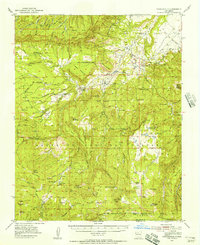
1953 Map of Arroyo Del Agua
USGS Topo · Published 1955About this map
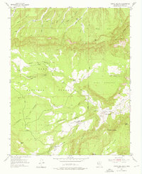
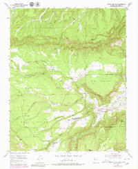
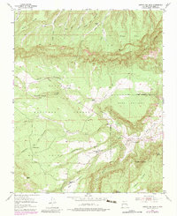
Arroyo del Agua sits at the confluence of several drainages in Rio Arriba County, serving as a focal point for settlement in this high-altitude landscape during the early 1950s. The map illustrates a rural society organized around expansive tablelands and narrow valleys, where the Rio Puerco and Poleo Creek provided vital water sources. High on the mesas, the community established local institutions to serve scattered residents, including the Mesa Poleo School and the Mesa Pinabetal School. Religious life centered on the Santa Teresa Church, located near the intersection of several unimproved roads and a jeep trail. The terrain is marked by named features that reflect both Spanish and local heritage, such as Ca%C3%B1oncito de los Cordovas and Cordovas Spring, showing how family names became fixed to the physical geography of the Santa Fe National Forest.
Find a feature on this map
39 named features on this map. Tap any name to fly to it.
Don’t see what you’re looking for? This feature index may not catch every label — zoom into the map to look around manually.
Map Details
Editions of this 1953 Arroyo Del Agua Map
4 editions found
Other maps of this area

1909 · Gallina
USGS Topo · 1:125,000

1940 · Cuba
USGS Topo · 1:62,500

1943 · Cuba
USGS Topo · 1:62,500

1953 · Cerro Del Grant
USGS Topo · 1:24,000

1953 · Echo Ampitheater
USGS Topo · 1:24,000
1953 · Jarosa
USGS Topo · 1:24,000

1953 · Laguna Peak
USGS Topo · 1:24,000

1953 · Youngsville
USGS Topo · 1:24,000
1953 · Youngsville
USGS Topo · 1:62,500

1954 · Aztec
USGS Topo · 1:250,000