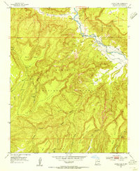
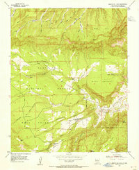
1953 Map of Laguna Peak
USGS Topo · Published 1955About this map
Rio Chama carves a deep path through this corner of New Mexico, defining the boundary between the Carson National Forest and the Santa Fe National Forest. The landscape is dominated by high plateaus and narrow canyons, including Mesa de los Viejos and Mesa Laguna, punctuated by vital water sources like Gallegos Spring and Los Indios Spring. Evidence of human activity is concentrated along the river valleys, where the Chama Grant Ditch and Gallina Bench Ranch signify a reliance on irrigation and ranching in this arid environment.
Find a feature on this map
34 named features on this map. Tap any name to fly to it.
Don’t see what you’re looking for? This feature index may not catch every label — zoom into the map to look around manually.
Map Details
Editions of this 1953 Laguna Peak Map
5 editions found
Other maps of this area

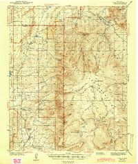
1909 · Gallina
USGS Topo · 1:125,000

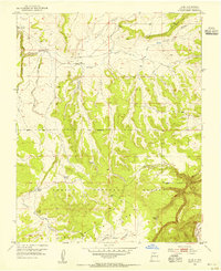
1940 · Cuba
USGS Topo · 1:62,500
1943 · Cuba
USGS Topo · 1:62,500
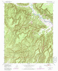
1953 · Alire
USGS Topo · 1:24,000
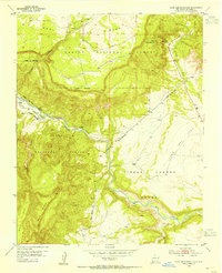
1953 · Echo Ampitheater
USGS Topo · 1:24,000
1953 · Arroyo Del Agua
USGS Topo · 1:24,000
1953 · Navajo Peak
USGS Topo · 1:24,000
1953 · Youngsville
USGS Topo · 1:24,000
1953 · Youngsville
USGS Topo · 1:62,500

1954 · Aztec
USGS Topo · 1:250,000