
1953 Map of Navajo Peak
USGS Topo · Published 1955About this map
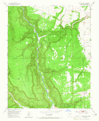
Rio Chama carves a deep path through the center of this 1953 survey, defining a landscape of high plateaus and ancient history in Rio Arriba County. The boundary between the Santa Fe National Forest and Carson National Forest is clearly delineated across these sharp canyon walls. High on the mesas, indicators of long-term habitation appear in the form of Cliff Dwellings and unnamed Ruins, signaling the area's significance for archaeological and cultural history. The terrain is marked by prominent landforms like The Hogback and Navajo Peak, while the limited human infrastructure of the mid-century is represented by the Juan Gallegos Ranch and a network of stock tanks such as Sargent Tank and Golondrino Tank. Isolated routes like the Hart Canyon Trail and various unnamed pack trails offer the only passage through the steep drainages of Cebolla Canyon and Mesa De Los Viejos.
Find a feature on this map
31 named features on this map. Tap any name to fly to it.
Don’t see what you’re looking for? This feature index may not catch every label — zoom into the map to look around manually.
Map Details
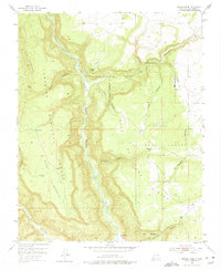
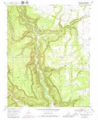
Editions of this 1953 Navajo Peak Map
4 editions found
Other maps of this area

1909 · Gallina
USGS Topo · 1:125,000

1953 · Alire
USGS Topo · 1:24,000

1953 · Echo Ampitheater
USGS Topo · 1:24,000

1953 · Laguna Peak
USGS Topo · 1:24,000

1954 · Aztec
USGS Topo · 1:250,000

1955 · Llaves
USGS Topo · 1:62,500

1955 · Tierra Amarilla
USGS Topo · 1:62,500

1955 · Boulder Lake
USGS Topo · 1:62,500

1958 · Aztec
USGS Topo · 1:250,000

1962 · Aztec
USGS Topo · 1:250,000