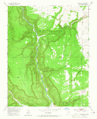
1953 Map of Navajo Peak
USGS Topo · Published 1965About this map
Rio Chama Canyon dominates this 1950s landscape, cutting a deep path through the northern New Mexico plateau. Evidence of early inhabitants is preserved in the form of Cliff Dwellings and unnamed Ruins found near the southern reach of the canyon. The territory is defined by massive topographic features including Mesa Golondrina, Mesa de los Viejos, and the prominent Navajo Peak.
Find a feature on this map
29 named features on this map. Tap any name to fly to it.
Don’t see what you’re looking for? This feature index may not catch every label — zoom into the map to look around manually.
Map Details
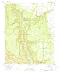
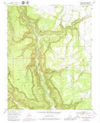
Editions of this 1953 Navajo Peak Map
4 editions found
Other maps of this area

1909 · Gallina
USGS Topo · 1:125,000

1953 · Alire
USGS Topo · 1:24,000

1953 · Echo Ampitheater
USGS Topo · 1:24,000

1953 · Laguna Peak
USGS Topo · 1:24,000

1953 · Navajo Peak
USGS Topo · 1:24,000

1954 · Aztec
USGS Topo · 1:250,000

1955 · Llaves
USGS Topo · 1:62,500

1955 · Tierra Amarilla
USGS Topo · 1:62,500

1955 · Boulder Lake
USGS Topo · 1:62,500

1958 · Aztec
USGS Topo · 1:250,000