
1955 Map of Boulder Lake
USGS Topo · Published 1958About this map
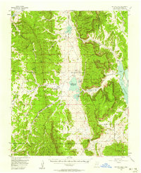
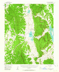
The Continental Divide winds through this mid-century landscape of Rio Arriba County, marking the high ground between the Jicarilla Apache Indian Reservation and the Tierra Amarilla Grant. At the heart of the reservation, the Burford Lake Wildlife Station monitors the waters of Stinking Lake (Burford Lake), a significant natural feature containing Horse Island. The terrain is defined by a series of north-south canyons such as Cedar Canyon and Telephone Canyon, linked by specialized routes like the Stock Driveway and various Jeep Trails. To the east, the waters of the El Vado Reservoir gather against the grant boundary, while the southern portion of the sheet transitions into the protected lands of the Santa Fe National Forest. This mapping records the precise boundaries between tribal, private grant, and federal forest lands during a period of active resource management.
Find a feature on this map
29 named features on this map. Tap any name to fly to it.
Don’t see what you’re looking for? This feature index may not catch every label — zoom into the map to look around manually.
Map Details
Editions of this 1955 Boulder Lake Map
3 editions found
Other maps of this area

1889 · Largo
USGS Topo · 1:250,000

1895 · Largo
USGS Topo · 1:250,000

1909 · Gallina
USGS Topo · 1:125,000

1953 · Navajo Peak
USGS Topo · 1:24,000

1954 · Aztec
USGS Topo · 1:250,000

1955 · Chama
USGS Topo · 1:62,500

1955 · Lumberton
USGS Topo · 1:62,500

1955 · Llaves
USGS Topo · 1:62,500

1955 · Tierra Amarilla
USGS Topo · 1:62,500

1958 · Aztec
USGS Topo · 1:250,000